3D Viewer
A clearer way to explore point clouds and 3D data
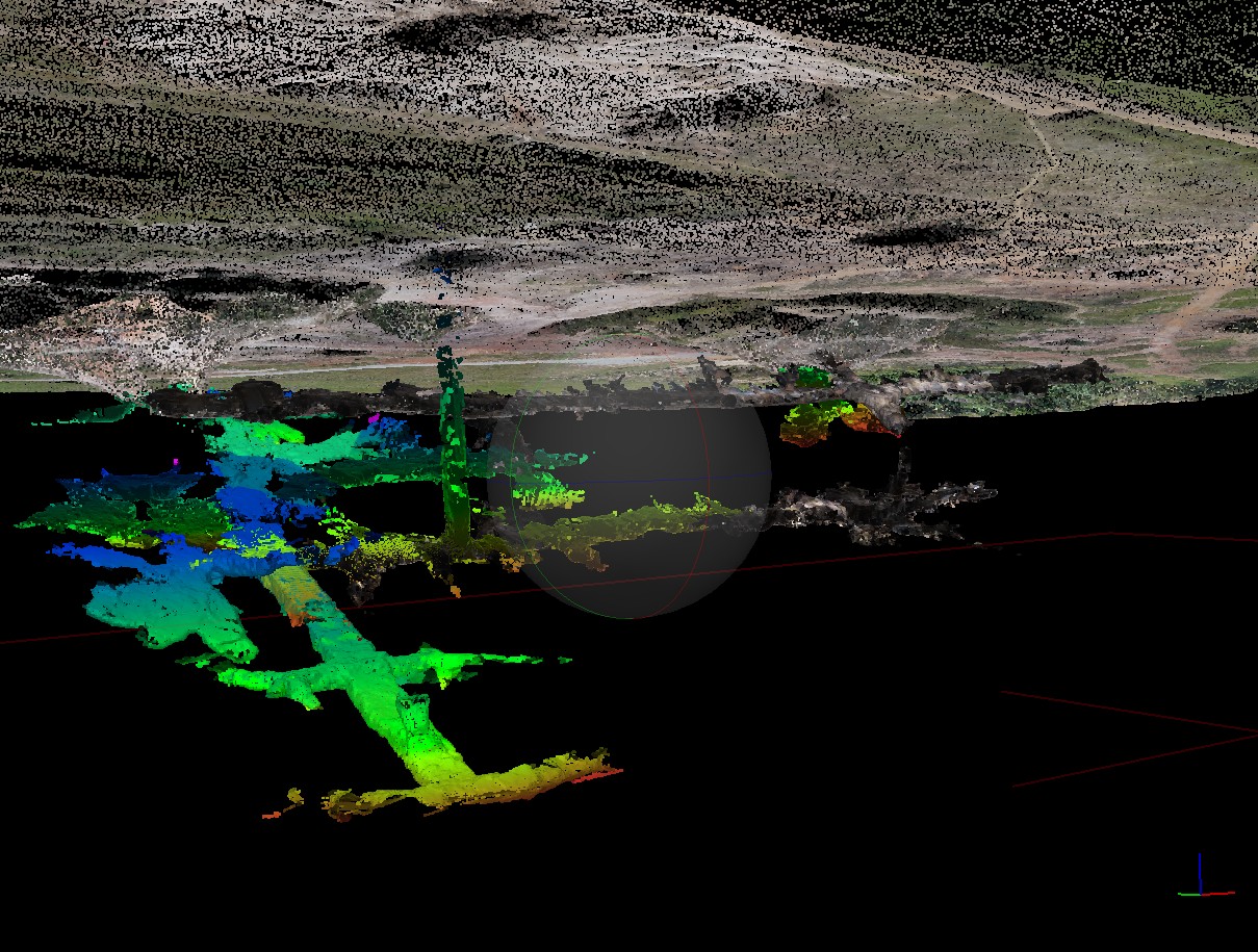
Experience how spatial data can be explored visually. For now, a flythrough preview stands in place of the full interactive viewer. 3d Viewer Coming Soon
Why it matters
3D visualisation makes complex site data easier to understand
Undertanding the geographical layout of the enverionment is imperative to making safer more effective decisions
Visual Context
Understand site geometry and relationships more clearly.
Better Communication
Create a shared visual reference for teams and stakeholders.
Stronger Presentation
Present data in a modern, accessible, and engaging format.