Services
Survey, mapping, and digital delivery services built for mining operations
MST provides practical, field-ready survey and geospatial services that help mines capture reality, improve decision-making, and deliver reliable outputs for operations, planning, and reporting.
All survey and aerial operations are conducted in full compliance with DMR requirements and Civil Aviation Authority (CAA) regulations. MST operates as a licensed RPAS holder, ensuring all drone-based work is legally compliant and professionally executed.
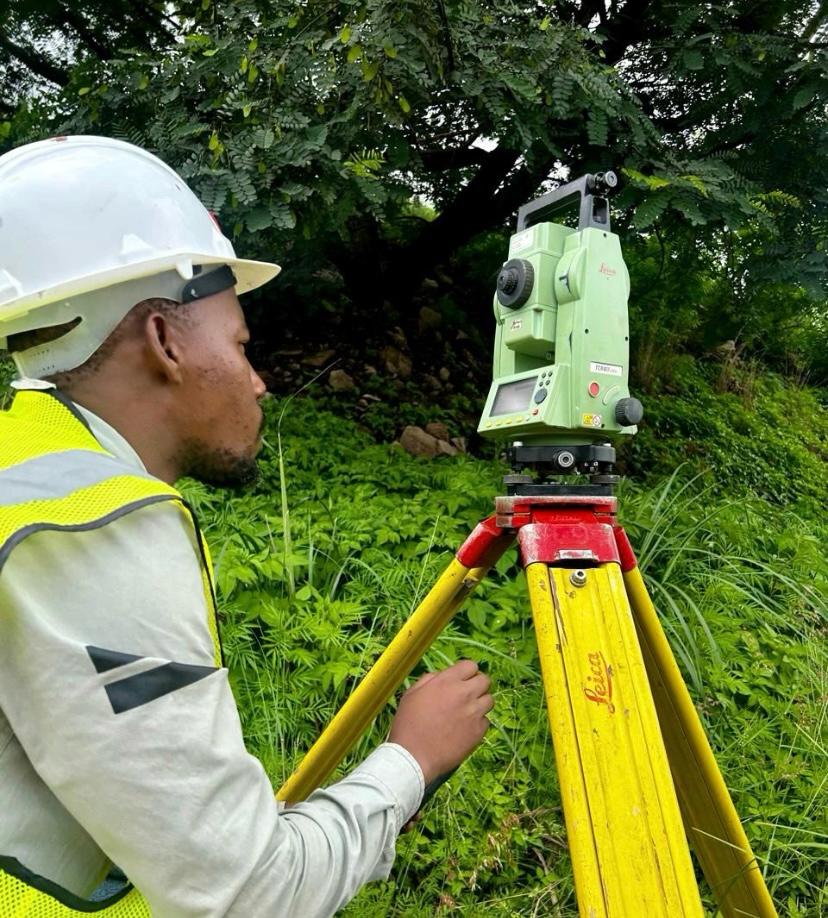
01 · Core Surveying
Underground & Surface Surveying
Accurate survey support for production, development, stoping, legal compliance, mine planning, infrastructure, and ongoing operational control.
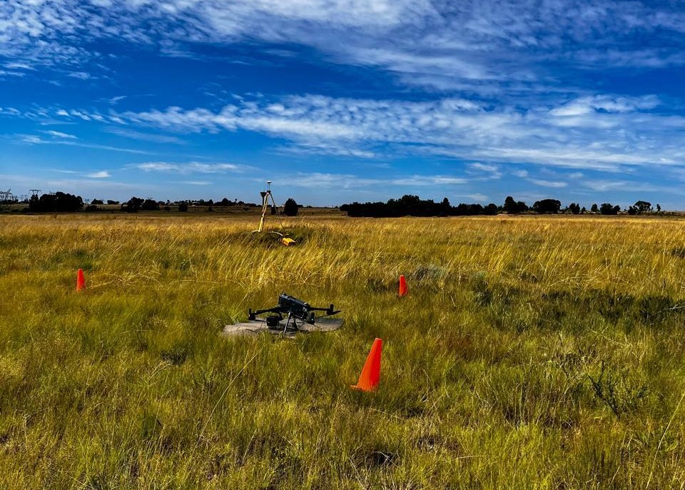
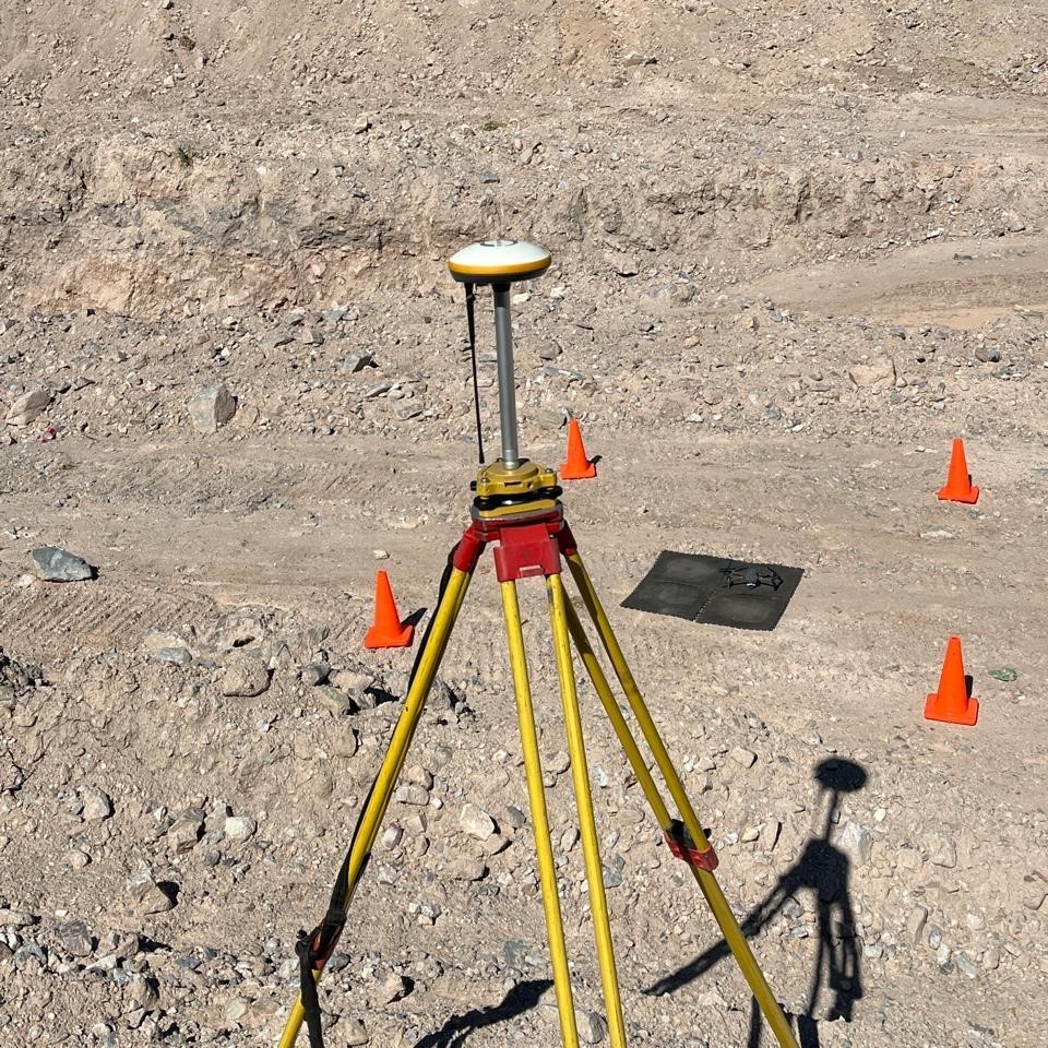
02 · Capture
LiDAR & Drone Mapping
High-detail capture for stockpiles, terrain, workings, infrastructure, haul roads, and areas that are difficult, risky, or inefficient to measure using traditional methods alone.
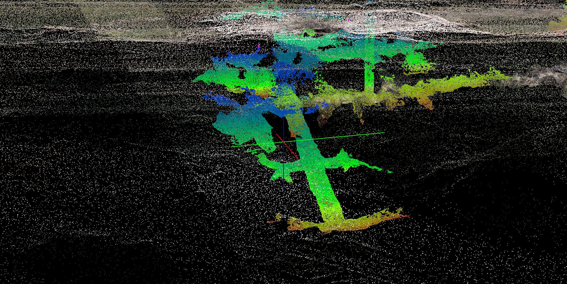
03 · Delivery
Point Clouds, Models & Plans
We turn captured site data into useful outputs that mine teams can review, share, and act on — from point cloud datasets to models, sections, plan sheets, and presentation-ready visuals.
Workflow
From field capture to mine-ready deliverables
Step 1
Plan + Risk Assessment
Survey, LiDAR, drone, and field control data collection.
Step 2
Capture
Survey, LiDAR, drone, and field control data collection.
Step 3
Process
Clean, register, align, and structure the raw spatial data. Build point clouds, surfaces, models, and plan-based outputs.
Step 4
Deliver
Share final files, visuals, reports, and plans.
Need a survey?
Let’s discuss the best approach for your site
Every mine site is different. We can help you define the right mix of survey, LiDAR, drone mapping, modelling, and digital delivery for your project requirements.