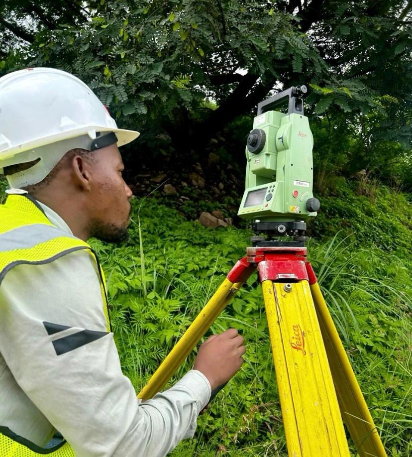
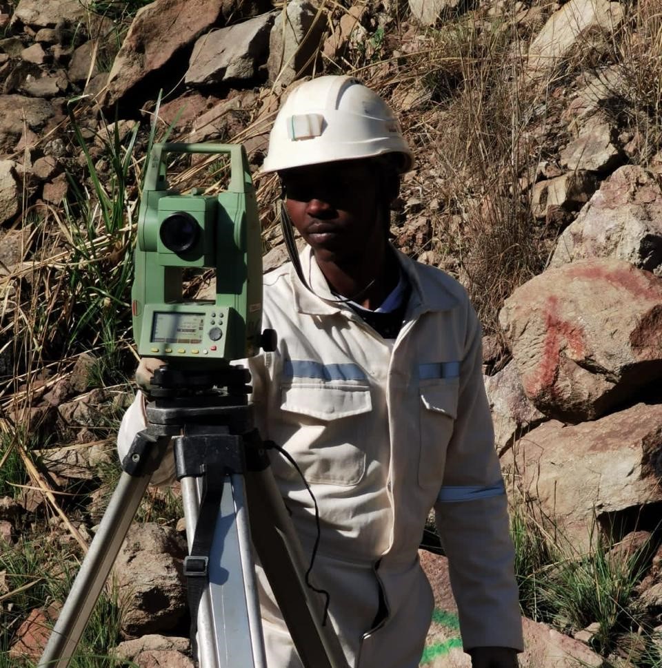
Underground & Surface Surveying
Accurate survey support for production, development, stoping, compliance, planning, and day-to-day mine decision-making.
Mine Survey Technologies delivers underground and surface surveying, drone mapping, point clouds, 3D models, and plan outputs that help mines operate with greater accuracy, clarity, and safety.
DMR compliant • Licensed RPAS (CAA approved) • Survey operations aligned with regulatory standards
Core Capabilities
Accurate survey support for production, development, stoping, compliance, planning, and day-to-day mine decision-making.
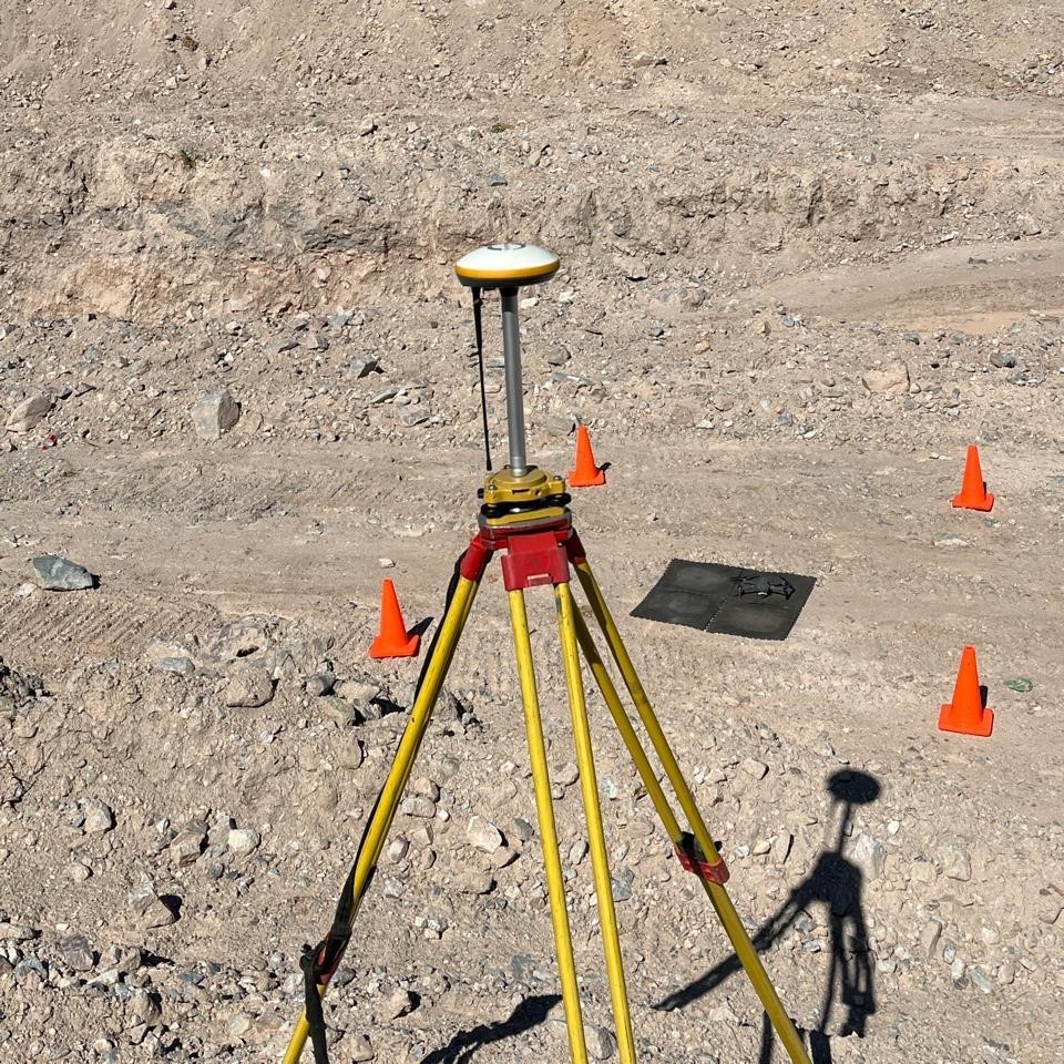
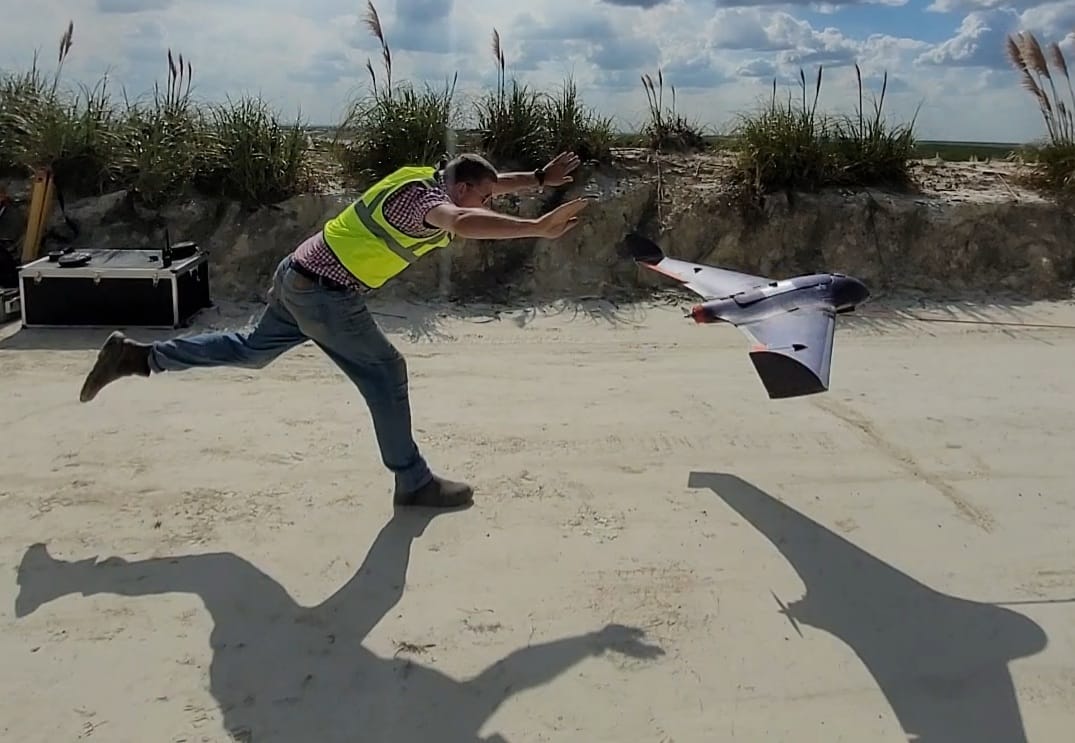
High-detail data capture for stockpiles, terrain, infrastructure, workings, and hard-to-reach mining areas.
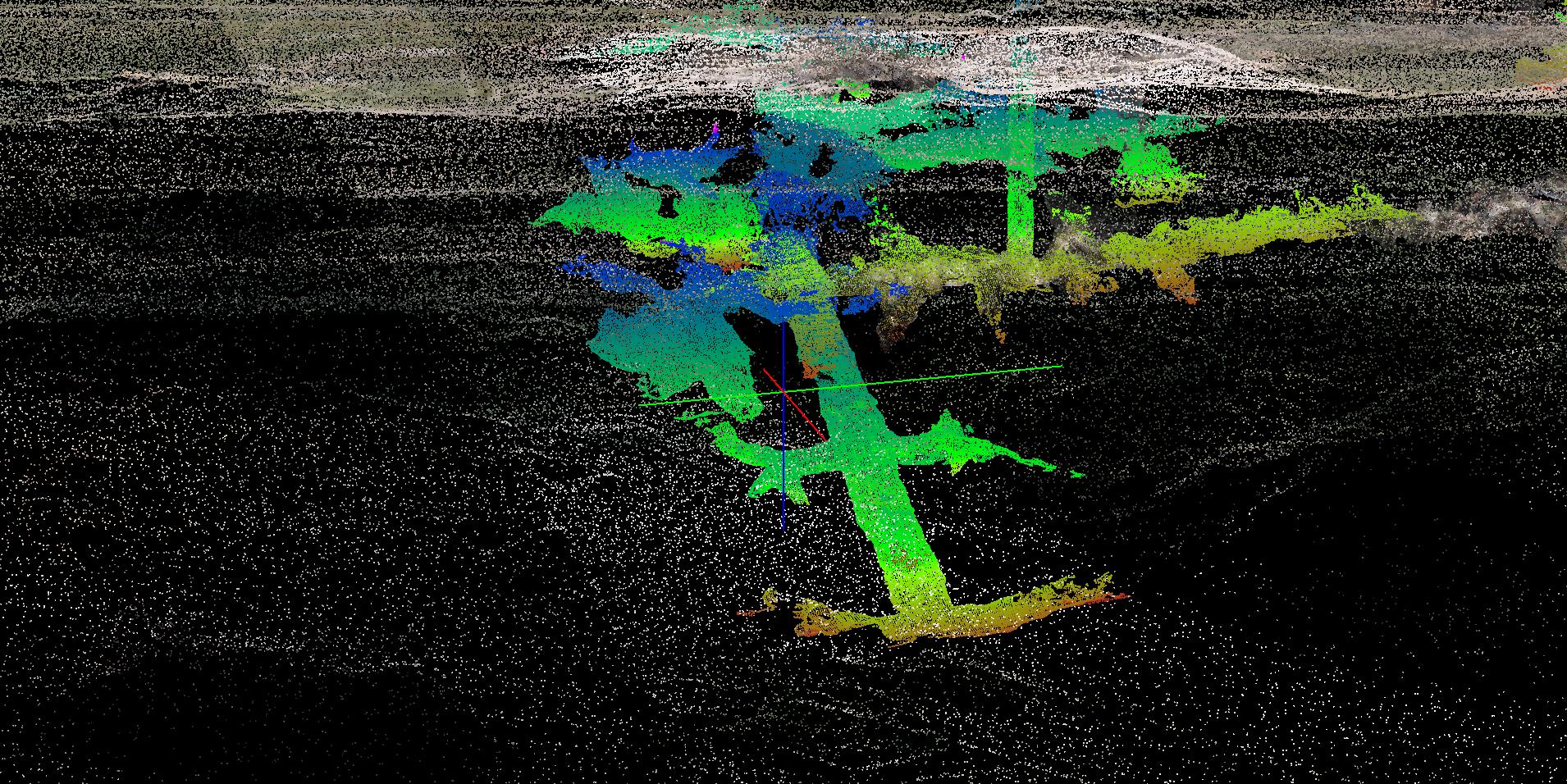
Turn captured data into useful 3D deliverables, reporting outputs, plan updates, and viewer-ready models.
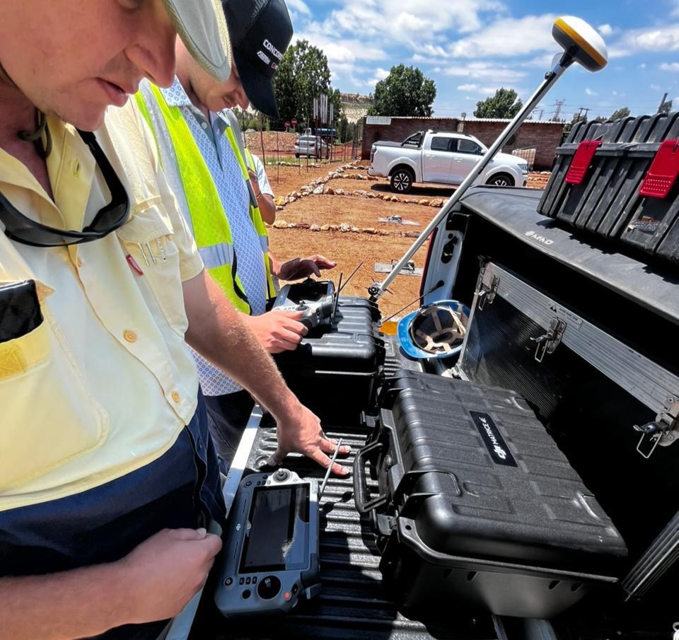
Technology
MST combines field capture, survey control, point cloud processing, model generation, and digital delivery so teams can move from raw data to real decisions faster.
Safety
A strong survey department helps improve spatial awareness, planning, compliance, communication, and confidence across mining operations.
Whether you need survey support, LiDAR capture, point cloud outputs, mapping, 3D models or plans, MST is the right choice.