Total Stations
South N7 Series
High-precision total station equipment for reliable underground and surface survey control, setting out, and detailed measurement workflows.
Technology
MST uses practical surveying and geospatial technology to move from field data to reliable mine-ready outputs. Our workflows are designed to support real operations, not just create visuals.
Equipment
Our equipment base supports underground and surface surveying, LiDAR capture, drone mapping, and dependable data collection workflows across mining and infrastructure environments.
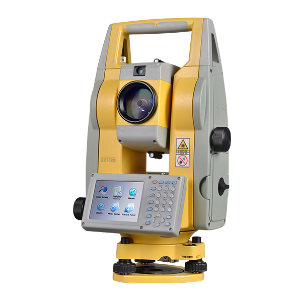
Total Stations
High-precision total station equipment for reliable underground and surface survey control, setting out, and detailed measurement workflows.
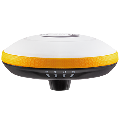
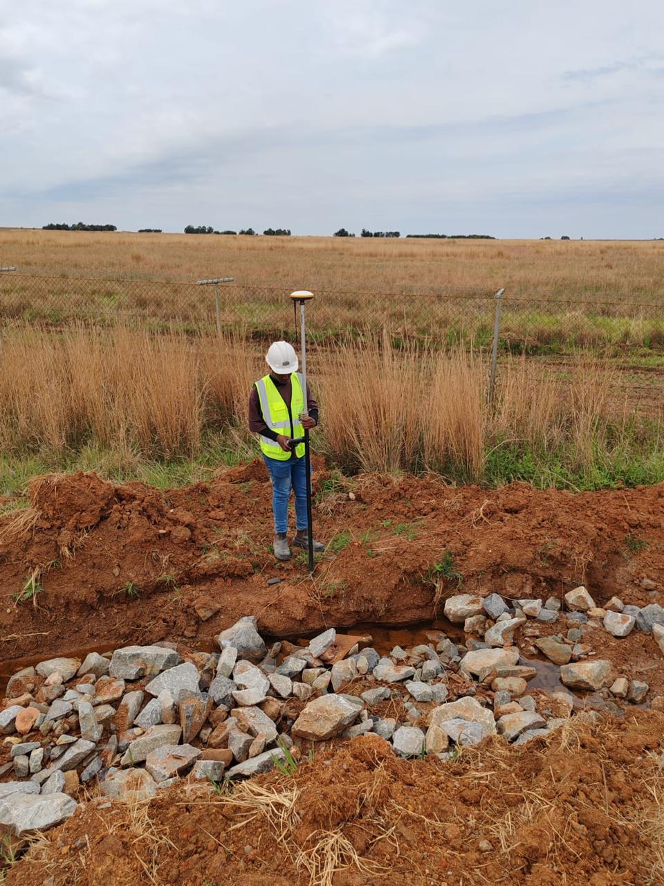
RTK GPS
RTK GPS capability for fast and accurate positioning, control establishment, and efficient field data collection across larger sites.
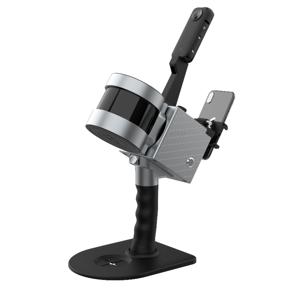
Handheld LiDAR Scanner
Portable reality-capture equipment for detailed scanning, spatial context capture, and flexible site documentation in complex environments.
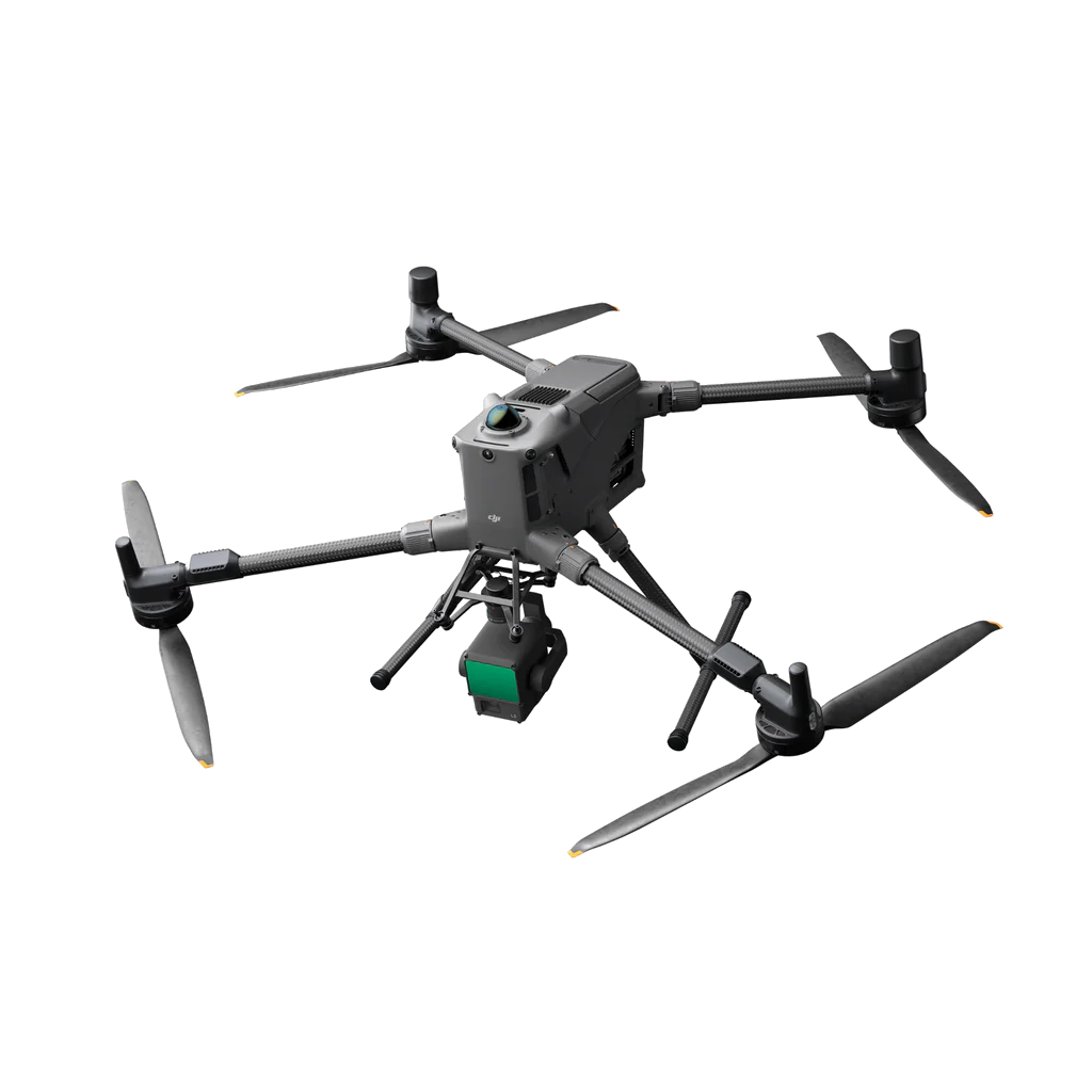
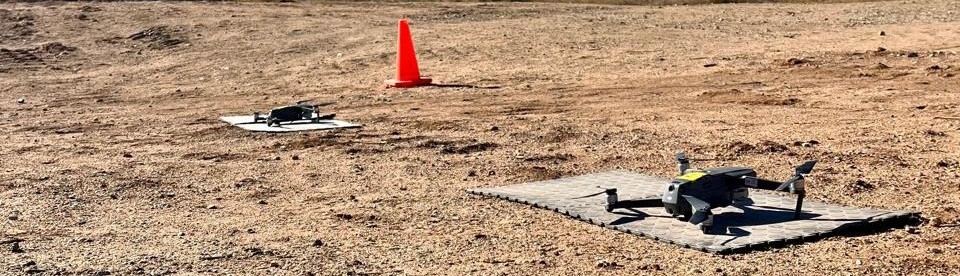
Drones
Aerial survey and capture platforms supporting LiDAR, photogrammetry, mapping, and efficient data collection over large or difficult areas.
Our Approach
We combine survey control, LiDAR, drone mapping, data processing, model creation, and structured outputs so mines can get more value from spatial data.
Stage 1
Gather site data using survey methods, LiDAR systems, drones, and control networks.
Stage 2
Georeference, process, filter, classify, and export to usable project outputs.
Stage 3
Generate surfaces, terrain models, sections, and plan-based deliverables.
Stage 4
Share outputs in formats that support reporting, planning, coordination across multiple departments, and visual review.
Capture Technology
Different sites require different approaches. MST combines traditional survey discipline with newer capture systems to improve speed, detail, and coverage where appropriate.
Processing Workflow
Raw data only becomes valuable once it is processed properly. Our workflow focuses on accuracy, clarity, and outputs that are useful to mine teams, engineers, and decision-makers.
Confirming and preparing the raw data for processing.
Removing noise and low-confidence data while classifying the dataset for better understanding.
Outputs
The goal is not just to capture data — it is to deliver information people can actually use in planning, reporting, visualisation, and operations.
For the most accurate terrain and spatial data.
From development, stoping, and DMR-compliant plans.
Volumetric deposition, stockpile reports, and tailings dam wall monitoring reports.