Contact
Let’s talk about your surveying, mapping, and digital delivery needs
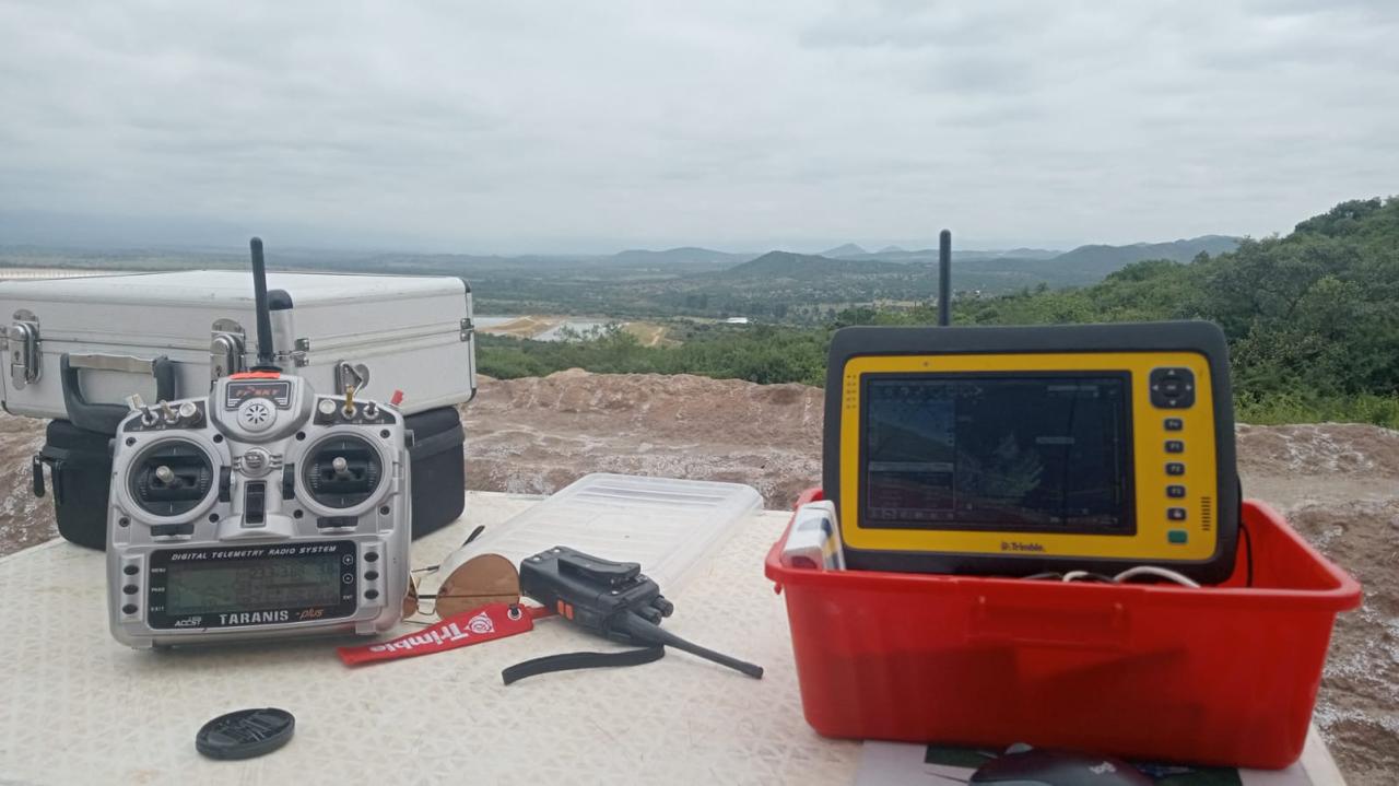
Whether you need survey support, LiDAR capture, point cloud outputs, drone mapping, plans, or a 3D viewer demo, MST can help shape the right workflow for your site.
Get in touch
Start the conversation
Use the details below to reach out directly.
Enquiry Guide
What to include when contacting us
To make the first discussion easier, it helps to include a short summary of your site, what type of support you need, and what you want delivered.
Project Type
Underground, surface, infrastructure, stockpile, compliance, or mapping work.
Required Service
Surveying, LiDAR, drone capture, modelling, plan outputs, or visualisation.
Location
Site location, access conditions, and any practical constraints.
Deliverables
Point clouds, plans, models, reports, screenshots, or viewer-ready outputs.